Field Systems in the High Weald
Overview
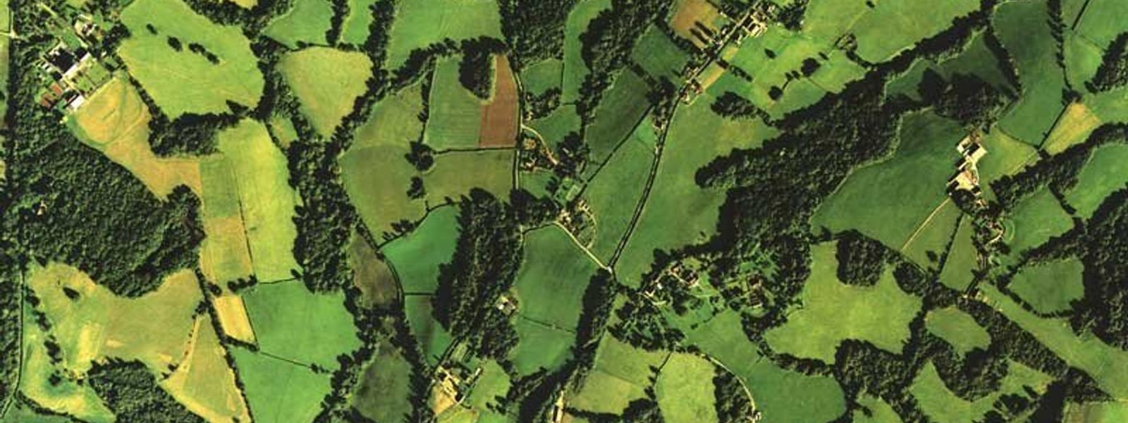
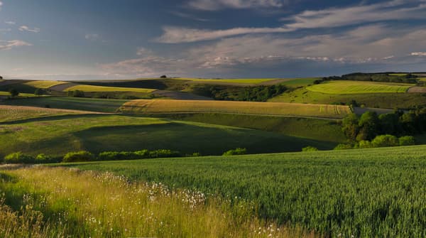
Recognising the pressure on fields in the High Weald for development, food, energy production and leisure use, the High Weald AONB Partnership and Historic England co-funded the ‘Field Systems in the High Weald’ project designed to help identify and conserve the area’s most historically-significant fields.
This project achieved:
- Collaborative working between with Historic England, local authorities and others to develop an approach to assessing the impact of development on green field sites on the AONB’s landscape character.
- A Character Statement which sets out the history and importance of the AONBs different field types, particularly its medieval field systems.
- An Assessment Framework which sets out a method for assessing the historical character, significance and sensitivity to change of fields in the High Weald.
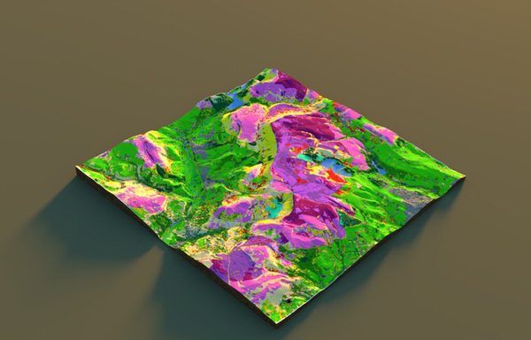
- A tool that translates under-valued and under-utilised historic environment data – particularly the Kent and Sussex Historic Landscape Characterisation – into a form that can help local planning and land management decision making.
- A better understanding of the relationship between of fields and field systems with other components of the landscape, for example wildlife-rich grassland.
- Greater awareness and understanding of the importance of historic fields in the High Weald through a range of events.
What was done
Phase 1
An overview of the existing information about the extent, history, socio-ecological function, and value of field systems in the Weald was produced to enable an integrated approach to the methodology. This involved:
- synthesizing the historic research already undertaken, as well as an overview of the non-historical benefits provided by fields i.e. ecosystem service.
- investigating how people and organisations perceive fields through analysing the way in which various organisations – including NGOs, charities and government agencies – talk about, represent and value fields, as well as conducting interviews and workshops with landowners and planners to gain insight into the ways in which people understand the most significance features of fields.
Phase 2
The GIS and field survey component of the project. This involved:
- designing and creating a geodatabase and survey form that would allow the field survey data to be quickly entered into the GIS and analysed alongside other spatial data.
- digitizing a range of historic mapping – particularly tithe maps – for each case study – to reveal the ownership, name and land use history of each field.
- field surveys (and later desk-based surveys) at each of the five case study sites.
- historic archive work to provide historic context for each of the study sites.
- a drone survey work at the primary case study site, Earlye Farm, was also undertaken to test the value of using high resolution aerial imagery in rapidly identifying archaeological features.
Phase 3
This involved:
- producing a method of assessing field system significance that is easy-to-understand and apply – as well as being replicable beyond the Weald.
- producing a historic character statement outlining how fields have evolved in the High Weald through time.
- multiple consultation events with stakeholders to ensure that the project’s final outputs would be both useful and easy to apply in practice.
- an assessment of remaining gaps in understanding and the scope for further work. This highlighted the need for additional research to further increase general understanding of the history and significance of fields in the High Weald, as well as the ecosystem services they provide. Such work would help ensure fields are properly considered in planning and land management, and valued for the range benefits they deliver.
Outputs/Outcomes
The following outputs were achieved as part of this project:
- 5 case study sites field surveyed
- 4 case study sites desk surveyed
- 105 archaeological features recorded
- 317 earthworks (including boundary ditches and banks) recorded
- 5 landowner visits
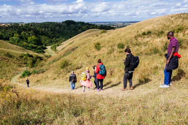
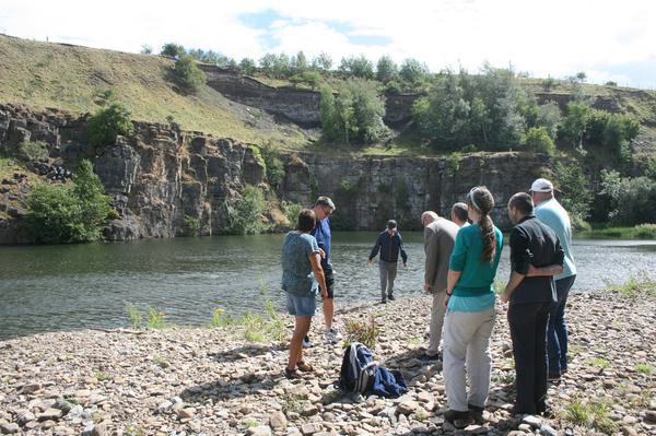
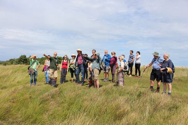
- 2 landscape history and field system interpretation walks for the general public
- 2 landscape perception workshops
- 2 local authority training sessions
- 3 GIS & historic environment interns were trained and contributed to the project
- 1 historic character statement were produced
- 1 historic significance assessment framework was produced.
Learning
The project was initiated by a landscape and an historic environment expert, both of whom have particular expertise in the landscape history of the High Weald; however, the inclusion from an early stage of people with a diverse range of expertise (including GIS and planning) was critical to the success of the project.
Potential issues with project design – particularly in terms of data collection and storage in GIS – were ironed out at an early stage. Consequently, when field and desk surveying began the data could be entered quickly and efficiently into the project geodatabase. Student interns were particularly valuable in this regard, rapidly inputting the survey data and dealing with various technical GIS issues as they arose.
Consultation with practitioners – particularly planners, but also farmers and land managers – was critical to producing a method of assessment that can be easily understood and applied by non-experts. Ultimately, providing a rapid means of assessing the historic significance of a field, or group of fields, should help to contribute to the conservation of the High Weald and its character.
Having access to a range of historically interesting case study sites was also key to the project’s success, enabling the field survey work to be undertaken and the new historic environment data to be generated. The High Weald AONB Partnership’s extensive past engagement with landowners in the area was particularly important in this regard, ensuring there was a pre-existing network of enthusiastic landowners willing to give their time and allow access to their land.
Further information
The fields of the High Weald are one of the key landscape components that make up its natural beauty. Understanding the origin of these fields is an important factor in assessing whether a site can accommodate development in a way that conserves or enhances this Area of Outstanding Natural Beauty.
Project Manager - Claire Tester, High Weald Planning Adviser
I thought all fields were the same. This guidance means I see features I hadn’t really noticed before such as banks, ditches, old trees and ponds and I now realise that these features are very old and need to be protected from development.
Participant - Sarah Rogers, Development Control Officer
