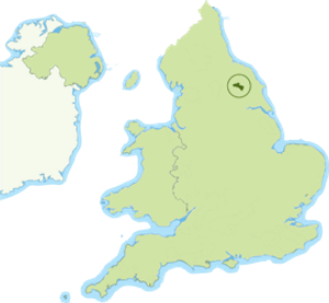
Howardian Hills National Landscape
The Howardian Hills form a distinctive, clearly defined geographical area rising sharply from the flat agricultural Vales of Pickering and York and consisting of well-wooded ridges, plateaux, hills, unexpected valleys and undulating countryside with prominent limestone scarps along the outer edges.
Jurassic limestone and sandstone with extensive east-west faulting gives the landscape its complex character. A diverse tapestry of wooded hills and valleys, pastures and rolling farmland, dramatic views from the higher ground across the agricultural vales below and combination of high-grade arable land, pasture and managed woodland creates a rich diversity and unique rural character. On the eastern edge, the River Derwent cuts through Kirkham Gorge, a deep winding valley which was formed as an overflow channel from glacial Lake Pickering. The area is known for a remarkable concentration of fine country houses, with their parklands forming an intrinsic part of the landscape. Most notable is Vanbrugh’s famous masterpiece, Castle Howard.
The area contains scattered settlements and vibrant, attractive villages, largely made up of stone-built, red pantile-roofed buildings. The two market towns of Helmsley to the north west and Malton to the south east are just outside the boundary and the North York Moors National Park lies directly to the north. The area has a network of historic minor roads and an extensive Public Rights of Way network providing bountiful opportunities for exploring by foot, bicycle and horse.