Clwydian Range and Dee Valley National Landscape / Tirwedd Cenedlaethol Bryniau Clwyd a Dyffryn Dyfrdwy
The Clwydian Range and Dee Valley National Landscape forms the dramatic upland frontier in North East Wales.
Mae Tirwedd Cenedlaethol Bryniau Clwyd a Dyffryn Dyfrdwy yn ffurfio’r ffin ucheldirol drawiadol yng Ngogledd-ddwyrain Cymru.
Mae’r Tirwedd Cenedlaethol hwn bron yn cyffwrdd â’r arfordir ar Lechwedd Prestatyn yn y gogledd ac yn ymestyn i’r de cyn belled â Moel Fferna ym Mynyddoedd Berwyn. Moel Fferna yw’r pwynt uchaf yn y Tirwedd Cenedlaethol, sef 630 o fetrau. Mae’r Tirwedd Cenedlaethol yn rhychwantu 390 o gilometrau sgwâr o gopaon gwyntog, gweundiroedd grug, creigiau calchfaen a dyffrynnoedd coediog.
Cadwyn enwog o gopaon wedi’u gorchuddio â grug porffor yw Bryniau Clwyd, gyda chlwstwr o fryngaerau o’r Oes Haearn wedi’u lleoli’n drawiadol arnynt. Y bryn mwyaf yn y gadwyn yw Moel Famau, 554 metr o uchder, sy’n eicon cyfarwydd i breswylwyr y Gogledd-orllewin. Mae’r Tŵr Jiwbilî hanesyddol ar gopa’r bryn hwn sy’n edrych dros 11 o siroedd.
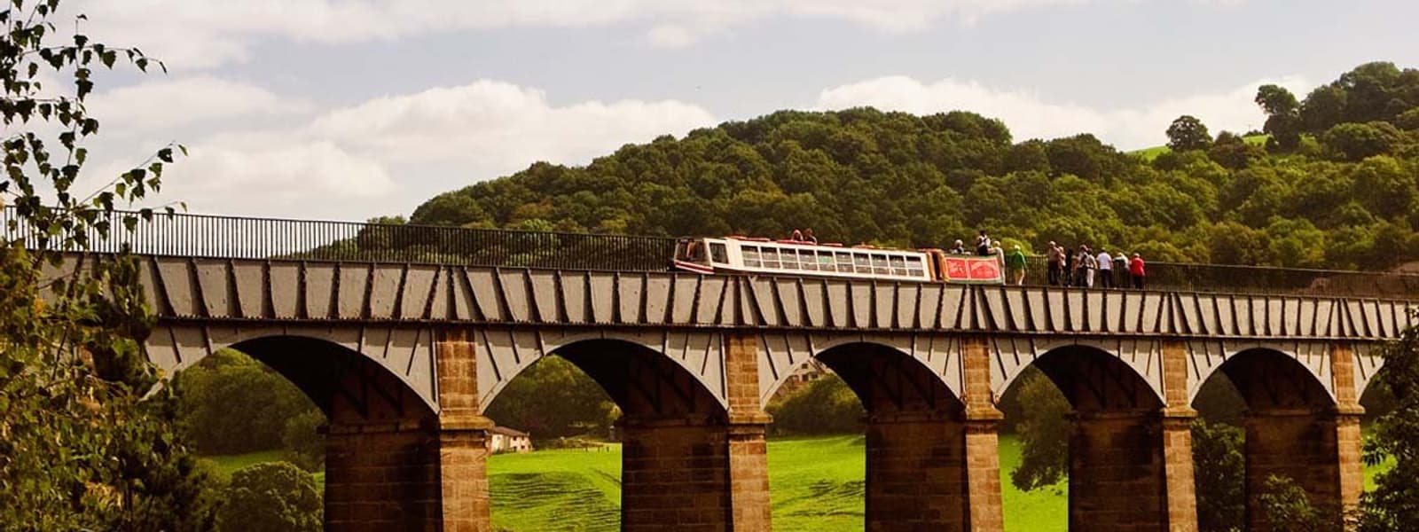
Y tu hwnt i Fwlch yr Oernant gwyntog, dros Fynydd Llantysilio, mae Dyffryn Dyfrdwy godidog sy’n cynnwys Llangollen hanesyddol, sef tref farchnad enwog a chanddi dreftadaeth ddiwylliannol a diwydiannol gyfoethog. Mae Afon Dyfrdwy yn llifo o dref farchnad Corwen, sef pen taith Rheilffordd Llangollen erbyn hyn, sy’n mynd heibio i ganolbwynt y trydydd Safle Treftadaeth y Byd yng Nghymru, sef ‘Afon yn yr Awyr’ Thomas Telford, Traphont Ddŵr Pontcysyllte.
The Clwydian Range and Dee Valley National Landscape forms the dramatic upland frontier in North East Wales.
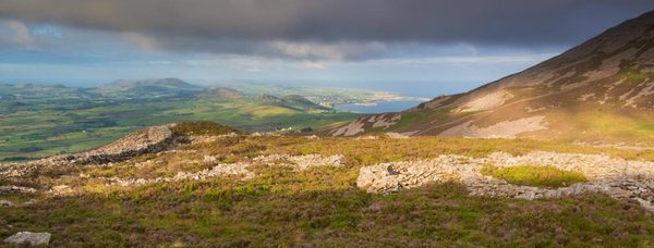
This National Landscape almost touches the coast at Prestatyn Hillside in the north and stretches south as far Moel Fferna, in the Berwyn Mountains, Moel Fferna is the highest point in the National Landscape at 630 metres. The National Landscape covers 390 square kilometres of windswept hilltops, heather moorland, limestone crags and wooded valleys.
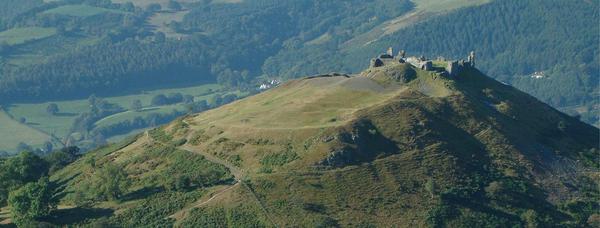
The Clwydian Range is an unmistakeable chain of purple heather-clad summits, topped by a cluster of strikingly situated Iron Age hillforts. The Range’s highest hill at 554 metres is Moel Famau, a familiar icon to residents of the North West. The historic Jubilee Tower sits on the summit of this hill with views over 11 counties.
Beyond the windswept Horseshoe Pass, over Llantisilio Mountain, lies the glorious Dee Valley with historic Llangollen, a famous market town rich in cultural and Industrial heritage. The River Dee flows from the market town of Corwen ,now the terminus for the Llangollen Steam Railway, making its way past the focal point of Wales’s third World Heritage Site, Thomas Telford’s ‘River in the Sky’ the Pontcysyllte Aqueduct.
