Cranborne Chase and West Wiltshire Downs National Landscape
Cranborne Chase and West Wiltshire Downs National Landscape is part of the extensive belt of chalkland which stretches across southern England. It is divided into its two areas by the fertile wooded Vale of Wardour.
To the south, Cranborne Chase with its smooth rounded downs, steeply cut combes and dry valleys shows a typical chalk landscape. To the north, the topography of the Wiltshire Downs is more varied and broken, with shapely knolls and whaleback ridges. Both areas are fringed on the west by an impressive scarp, cresting above the adjoining clay vales.
Traditional downland pasture is now largely confined to steeper slopes but large rectangular fields emphasise the chalkland’s open character. The chalkland valleys of the Wylye, Nadder and Stour are mainly in permanent pasture, with many copses and hedgerows. In the northwest, the AONB’s sandstone fringe of wooded ridges and valleys includes rich parklands such as Longleat and Stourhead.
The National Landscape is of great ecological importance. Its protected sites range from ancient downland, herb-rich fen and river meadow to scattered deciduous woodland which includes remnants of the ancient Cranborne Chase hunting forest and the former Royal Forests of Selwood and Gillingham. It is rich in prehistoric sites with many ancient monuments and field patterns on the downs, whilst the Vale of Wardour is dominated by large 18th and 19th century estates, parklands and associated villages.
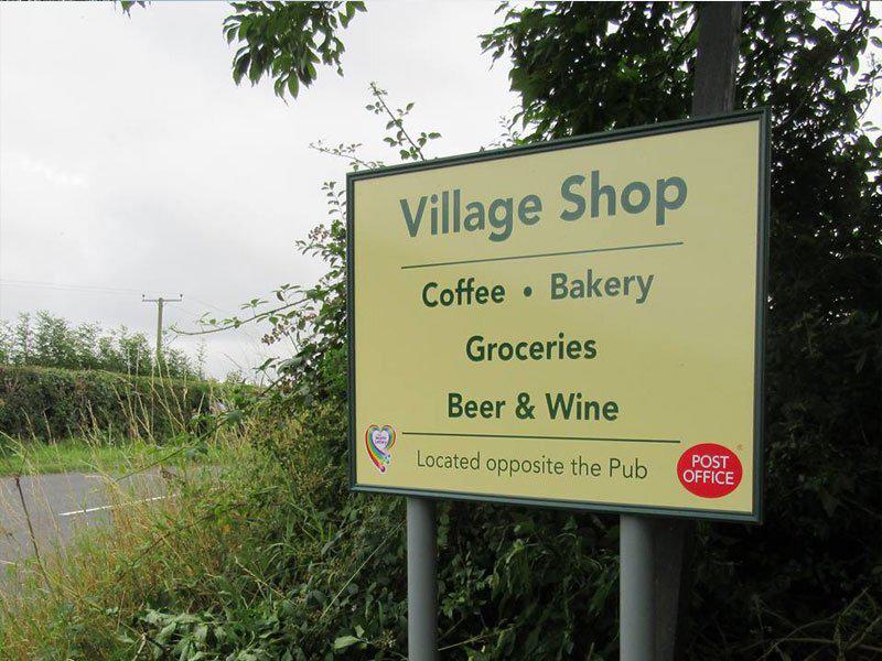
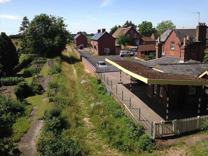
This is a deeply rural area with scattered villages and narrow roads. Agriculture, both pastoral and mixed, is the major employer together with commercial forestry and limited mineral extraction. There are no large settlements in the National Landscape but nearby country towns such as Salisbury, Shaftesbury and Warminster are growth areas.