Norfolk Coast National Landscape
The Norfolk Coast National Landscape is a unique landscape covering 453 km2 of rolling chalkland and glacial moraine. It is a setting for nature conservation, farming, recreation, tourism, and industry, but is also a vulnerable coastline, impacted by recreational disturbance, infrastructure developments, and climate change.
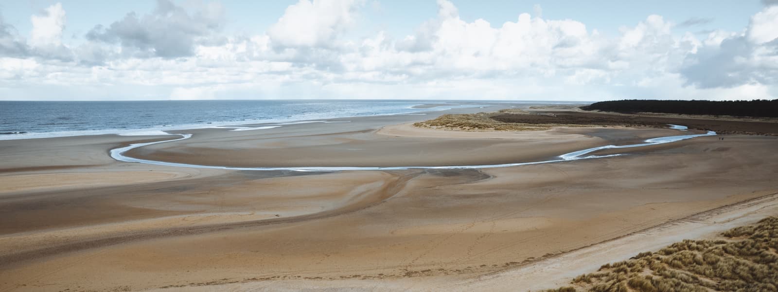
The Norfolk Coast National Landscape stretches from The Wash and Sandringham Estate in the West, to Sea Palling and Winterton-On-Sea in the East. It contains one of the highest points in East Anglia (Cromer Ridge at 102 metres above sea-level), National Nature Reserves (e.g. Winterton Dunes, Blakeney Point), and two National Trails (the Peddars Way and Norfolk Coast Path). It is home to approximately 18,280 people and visited annually by approximately 2.8 million people, all of whom enjoy the wild beaches, panoramic seascapes, and diverse wildlife.
Importantly, the Norfolk Coast National Landscape overlaps a number of other nature-based designations, including a Site of Special Scientific Interest (SSSI), Special Area of Conservation (SAC), Special Protection Area (SPA), and Ramsar site. These all serve to protect the wildlife and habitats around The Wash and Norfolk coast, which are of national and international importance.
The coastal stretch of the National Landscape is backed by farmland, heathland, wetlands, and woodlands, with buildings and settlements interspersed throughout. Many of these reflect the long history of human management and settlement in the area, and themselves contribute to a special and culturally important landscape; the Norfolk Coast National Landscape is characterised by its historic churches, brick and flint villages, and quay-side towns.


