Cornwall National Landscape
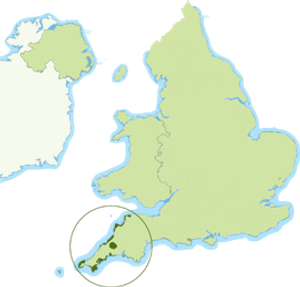
Cornwall National Landscape is unique, it is the only National Landscape that has 12 separate sections totalling almost a third of Cornwall, 958 sq. km (370 square miles). Cornwall is a beautiful part of the world, with a world-renowned coastline, a UNESCO World Heritage Site designation, and a host of natural and heritage features.
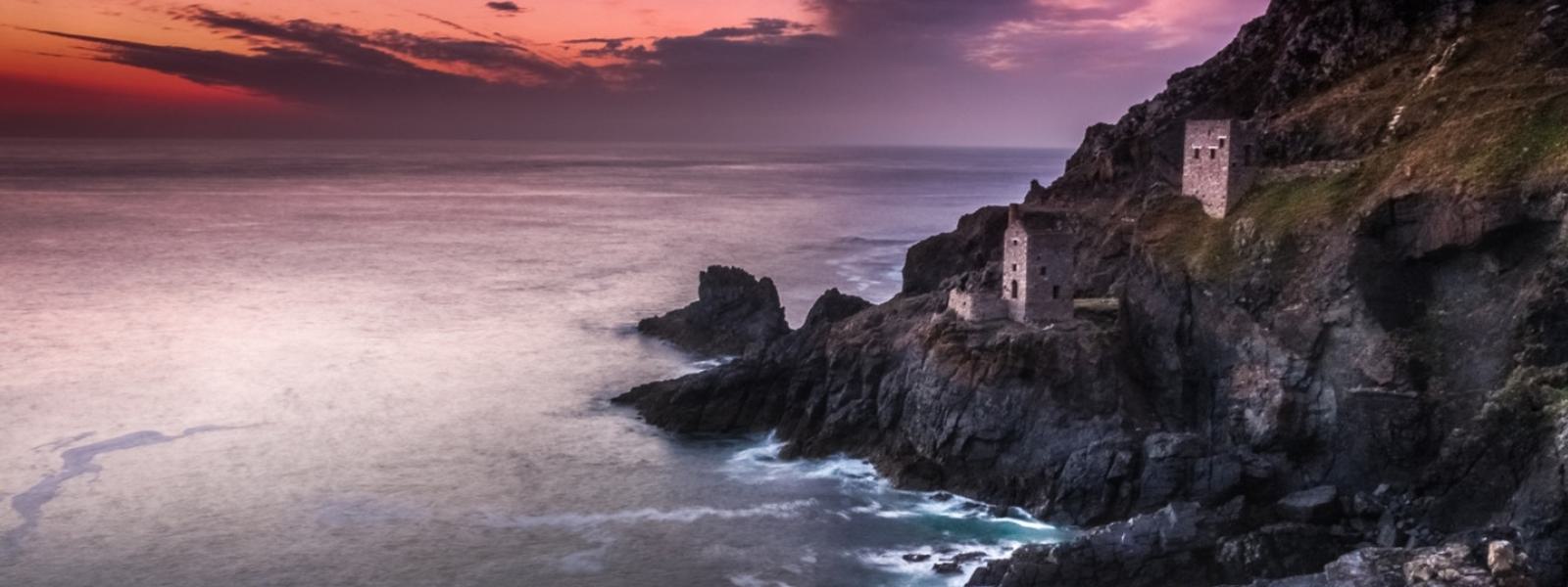
The north coast sections range from dramatic headlands, such as Tintagel and Pentire, to extensive rolling dunes and the spectacularly folded, Atlantic-lashed cliffs north of Boscastle which are some of the highest in Britain. The south coast is a softer landscape of multi-coloured cliffs, tiny coves and picturesque fishing villages. It is indented by the sessile oak-fringed estuaries of the Fowey, Fal, and Helford Rivers. There are many distinctive geological formations. The Lizard’s serpentine rock is found in the many reefs and spectacular stacks that emphasise the wild isolated character of the coastline. The granite intrusions around Land’s End have created rocks rich in minerals that have been mined for centuries and the old engine house chimneys still stand sentinel against the sky.
Nanquidno Cove, West Penwith
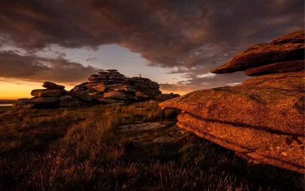
Bodmin Moor is the only extensive upland area in Cornwall and is dominated by granite outcrops with characteristic stone tors and clitter slopes, a wealth of mineral deposits and unusual river profiles. Cornwall National Landscape has no large settlements but includes characterful villages and small towns like St Just and Fowey. Tourism is a large part of the rural economy and the National Landscape is deeply valued by visitors and recognised as a key economic resource.
Sunset Light at Rough Tor
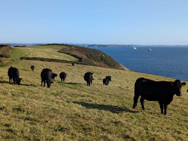
The earliest Cornish Hedges are understood to be over 4,000 years old, making them one of the oldest human-made structures still used for their original purpose. They are as old as the Egyptian pyramids. They are neither a hedgerow or a dry-stone wall, they are uniquely different and only found in Cornwall. The National Landscape protects many important natural and historic sites. The Lizard, with its complex geology, is a National Nature Reserve, and the Fal River is one of Europe’s best unspoilt examples of a drowned estuary complex and is a Special Area of Conservation. 80% of the protected landscape is farmed. The traditional farmed landscape of small hedged and banked fields (many dating to mediaeval or even pre-historic times) is intrinsically part of the landscape’s value as are its ancient standing stones and the distinctive mining ruins. The SW Coast Path National Trail follows the whole coastline. (345 words)
Evening Sunset at Botallack